
B3 - Gulluvia - Canals
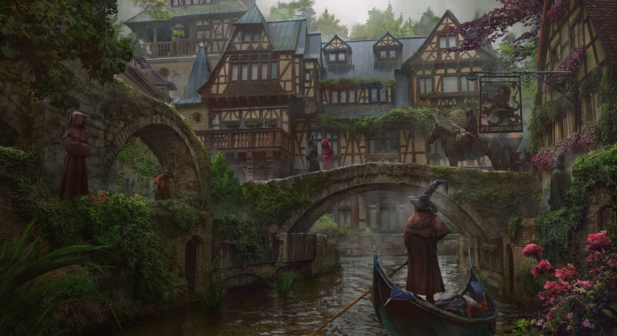
by Marc SaindonThe map of the orange B3 module presents an interesting problem, that of a reversed river flow. While one can attribute this to bad world-building and clear lack of knowledge in basic geography, maybe other options are possible to keep the same map. A quick answer would be it's the faerie energies permeating the landing, so rivers work differently. Another option brings back the idea of the Adri Vahrma Plateau as a very arid place (originally) that got terraformed by a combination of magic and gnomish engineering. The Gulluvian Gnomes (which replace Dwarves as an option from the module) developped a series of canals and ditches to provide water for agriculture, and as a means to haul mining products on barques to Gulluvia Town. There is a regional precedent of nearby Glantri City that also boasts canalizations, so it's not coming out of nowhere. The sandy soil from the previously arid desert maybe got boosted by Elven or Faerie magic, and is now suitable for the crop of potatoes (allowing Gulluvians to produce fries to keep with the belgian theme). Continuing on the Dutch or Belgian Gnome idea, the Gulluvian village of N'sau could have been originally "Nassau". Abaddon Woods seem to be a clumsy name randomly picked out of an occult or demonology dictionary, so perhaps this can just be shortened to Badon Woods (which calls back to the arthurian Badon Hill and thus to Gulluvia's fairy tale like setting).
(art from: https://www.deviantart.com/eddie-mendoza/art/Canal-Town-824893974)