
Thoughts on Borea
by JTRHere are my thoughts on Borea, from a GazF perspective.
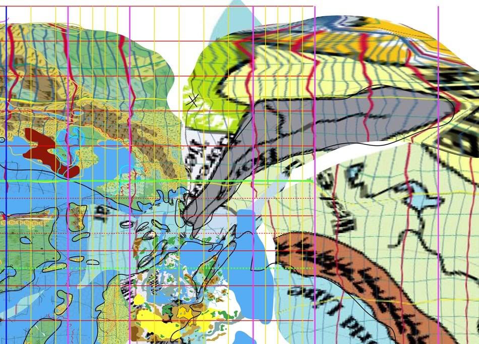
1. Pre-Rain World: The north pole is in the KW/Adri Varma Plateau Region. Borea (As seen in the puppet-warp map, and in the lat-long transformation map that gave me the grid lines) has its modern SE edge running E-W at about 75N. When it approaches the Wildlands/Hill and Dale region (GazF3,5), the valley bends southwest towards the Blackmoor area (in the general sense). The famous river confluence is a tad north of the Arctic circle. In this configuration, the sea-ward part of the Valley is sub-arctic/cool temperate (down to about 51N).
Blackmoor city sits at 45N. The X mark is the ruined fortress of the Great Olde Woode (GazF5), which was a post-crusade Blackmoor outpost (on the 75N line).
In my view, the arctic "Hyborea" into which the crusades pushed the beastmen is the territory north of 66-75N on the puppet map and not modern-day Hyborea. Urzud is one of many arctic military-scientific outposts ringing this rough line.
2. Modern-Rain World: Dividing the Borean Valley into thirds, the northern most area is glaciated/snow covered with the river flowing below the ice.
The middle third (beside the Hill and Dale [GazF5]) is a landscape of radioactivity and undead amid torn cityscapes (think tall skyscrapers half torn exposing the interiors). Even the plant life can be strange (spirit grass, bleeding grass). Much of the soil is dead and cannot be farmed even now.
The southern third is inhabited by humanoids and the human barbarians that trouble Hule.
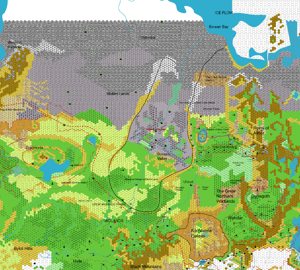
Background reference map that he used for the GAZF series.
Map attempting to puppet-warp the planet (focussing on Borea), to show where it was in the BC 5300 period.