
Geological (cellular Tectonic movements) of Ethengar
by RobinOk ...this did cost me some severe pondering, examining, and diving into a multitude of D&D canon/fanon and Real Life sources (hence I didn't react that fast)
Some of my earlier research on the cellular movement already revealed great things on Ethengar.
however, reflecting this to the additional information Chimpman gave above and indeed the backpressure after the glaciers, in combination to the 1700BC disaster and geological reactions of the region
As such I estimate the following data (please do not forget Mystara is a living planet-sized creature with cells instead a planet like earth, with similar but actually different geological processes (ie.- no plate movement but cells see; Megalith2)
3000BC
accumulation of ice/snow causes a weight induced compression of the cells in Ethengar. This also causes a horizontal break between the upper layers of cells and the creation of a volcanic layer on this break starting from the volcanoes in the Future Broken Lands and the World Mountain.
2300BC
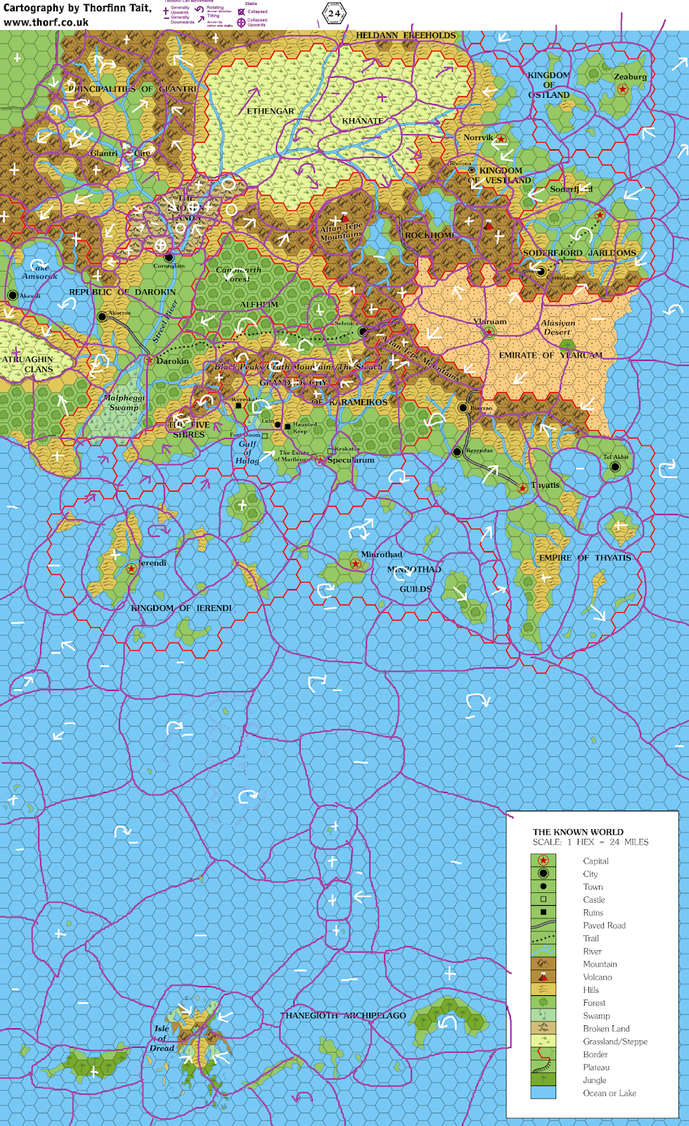
the thawing of the ice and the build up pressure from above AND volcanic pressure from below cause the area to rise slowly and significantly, becoming a plateaux. probably due the ocean east, there is a break of the bond between the cell in the east and the plateaux cells; this causes this cell to tilt upward to the west and place immense pressure on the east. as such i deem it logical there will be an rim of broken lands or ruptures (canyons or elevation steps) in the hills leading north to south, making sea to/from plateaux travel near to impossible in this era. this would concur with the maps of the 2300BC setting where the social movement seems more northwest along the coast or between mountains and plateaux. As to the Krandai and other river mentioned above, a rim inbetween seems very logical. as it falls almost along the walls of the cells in this area.
1700BC
The disaster caused geat upheaval in the southwest, creating the broken lands, blocking off the streel river, and this creating an immense lake (which further increases the tilt of the plateaux) and further increased the volcanic activity on the plateaux--it reawakened world mountain. and with this increased the rising of the cells on the plateaux. the continued tilting of the cell in the east together with other volcanic continental effects cause a break on the bridge of oost,separating these cells and innundating the area inbetween with see, thus creating a world more similar to the 1000AC world known. everything after the disaster(s) would slowly become stabile and subject to erosion removing most traces.
The Streel river blocked creates a huge Lake (Aral Lake aka Lake Grondheim) which is filling up all of southwest Ethengar and the Broken Lands region destroying the most fertile area and its forests (see here). First somewhere after 500BC there was a as yet (soon to be) undisclosed/undiscovered reason for the Streel River to continue its way uphill through the Broken Lands (see here)
1000AC
the rising of the plateaux slowly comes to a stop. the volcanic activity aka pressure slowly decreases, except on world mountain. this caused the smaller cells around this to continue in a slow rise together with world mountain. the coastal hills will have suffered a lot of erosion and any ruptures existing earlier would be visible only from the linear patterns of the hills. Also has the mountain cells risen in the centuries causing an uplift and relocation of the river mentioned in my post above creating the orange line river and thus the former river bed will be a dead river geologically discernable by biology and sedimentation (as such I will continue the original line as a brown-dead river, with forests along its path.
As being originally higher than the plateaux, the rising of the plateaux has caused most of the eastern hills to the coast become lower than the plateaux. as due the east cell is tilting southwest up, this effect is less within the hills in south vestland.