
Darokin, 2 2/3 miles per hex
by Mike PhillipsMaps
Unofficial expansion of the Republic of Darokin, 2 2/3 miles per hex by Bonetti, December 2009


 (December 2011)
Comments
My intention is to create a full, 2 2/3 mile per hex (1:3 zoom in) map of Darokin to use as my base campaign map.
Sources: Thorf's updated Darokin map (March 2009).
Unofficial Maps: James Mishler's Westerlands Campaign Map at the Vaults of Pandius, Morphius Shadowleaf's detailed map of Malpheggi Swamp at the Vaults of Pandius
Notes on XXX
To Do List
- Finish adding subsections
Create sub-map for each major area- Evaluate coverage and tweak subsection choices
- Add external hexes for subsections still missing details
Add borders (national and internal) for subsections- Reconcile
PC1/GAZ5/CM9 in appropriate areas - Pull in canon material not on 8mph map (is there any?)
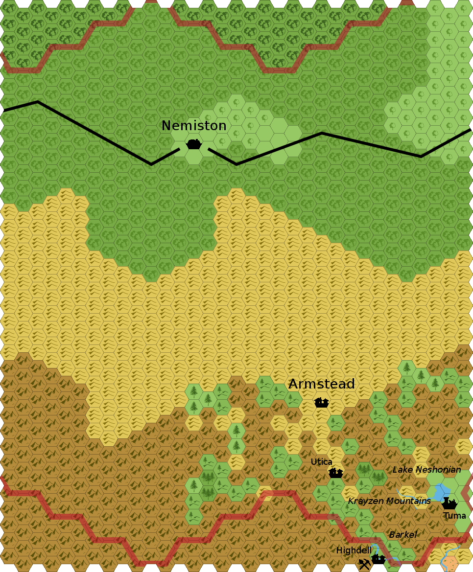
- Simone Neri's notes on Utica, Letizia, etc.
- Threshold Area scaleup (more from Simone, specifically on Utica, Tuma, plus some 2 2/3 scale detail)
- Pull in appropriate community material
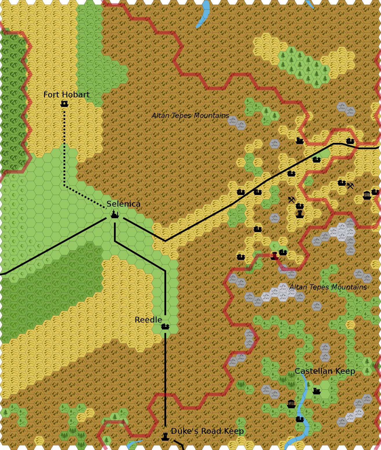
- MGAZ1 - The Central Altan Tepes, by Simone Neri
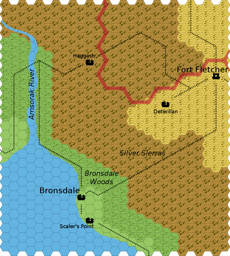
- Bronsdale area, by Alan Jones
- Birthright Notes (Gecko) brought to light:
- Vision of Truth & Light (Gordon McCormick)
- OD&Dities #8 -- "The Peril of Lakeside" (Geoff Gander)
- (ruins of) Kingdom of Brethilad (Geoff Gander, map forthcoming)
- "Shadow over Pendleton" (Dragonsfoot Publishing)
- The Barrowfields
- Develop new material
References
- Mapping around Malpheggi Swamp
- (more coming)
Thanks to: Thorfinn Tait for his art, maps, encouragement, and enthusiasm; isomage for hexGIMP; Shawn Stanley for archiving things I never would have seen otherwise; Geoff Gander for his many thoughts; and the patrons The Piazza for ideas, contributions, encouragement, and tolerance of cartographic insanity
Individual detail maps:
The bulk of the material is unofficial. Everything is in progress.
The maps are now in lists with text descriptions due to overburdening the server with the images.
(Close to) Done:
- Malpheggi Swamp
- Developed (notes on locations)
Partial Development:
- Akorros
- incorporated fanon, added towns, tweaked geography slightly, still need to finish naming features
- Development thread
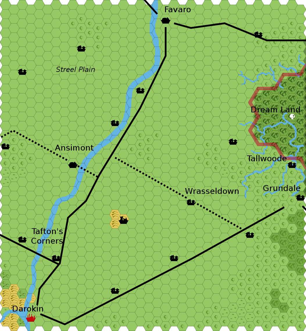
- Ansimont
- added towns, tweaked geography slightly, still need to finish naming features
- Corunglain
- added towns, tweaked geography slightly, still need to finish naming features
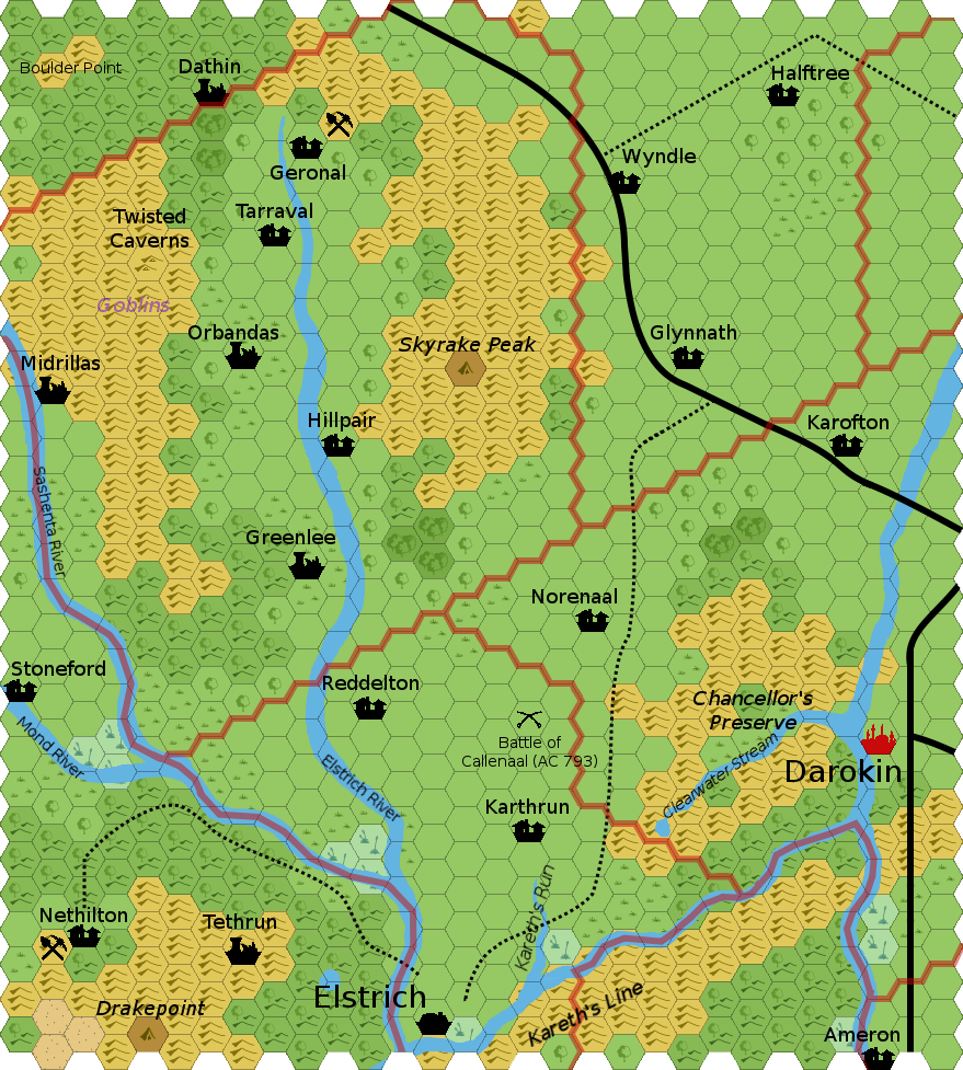
- Elstrich Valley
- added and named towns, tweaked geography, still need to finish development
- Development thread
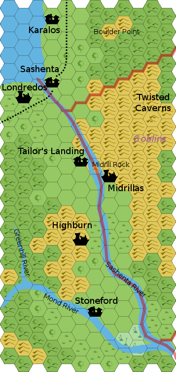
- Sashenta Valley
- added and named towns, tweaked geography, still need to finish development
- Development thread
Fanon Incorporated: (but not otherwise developed yet)
Scaled Up:
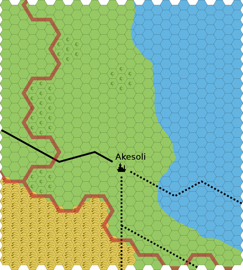
- Akesoli
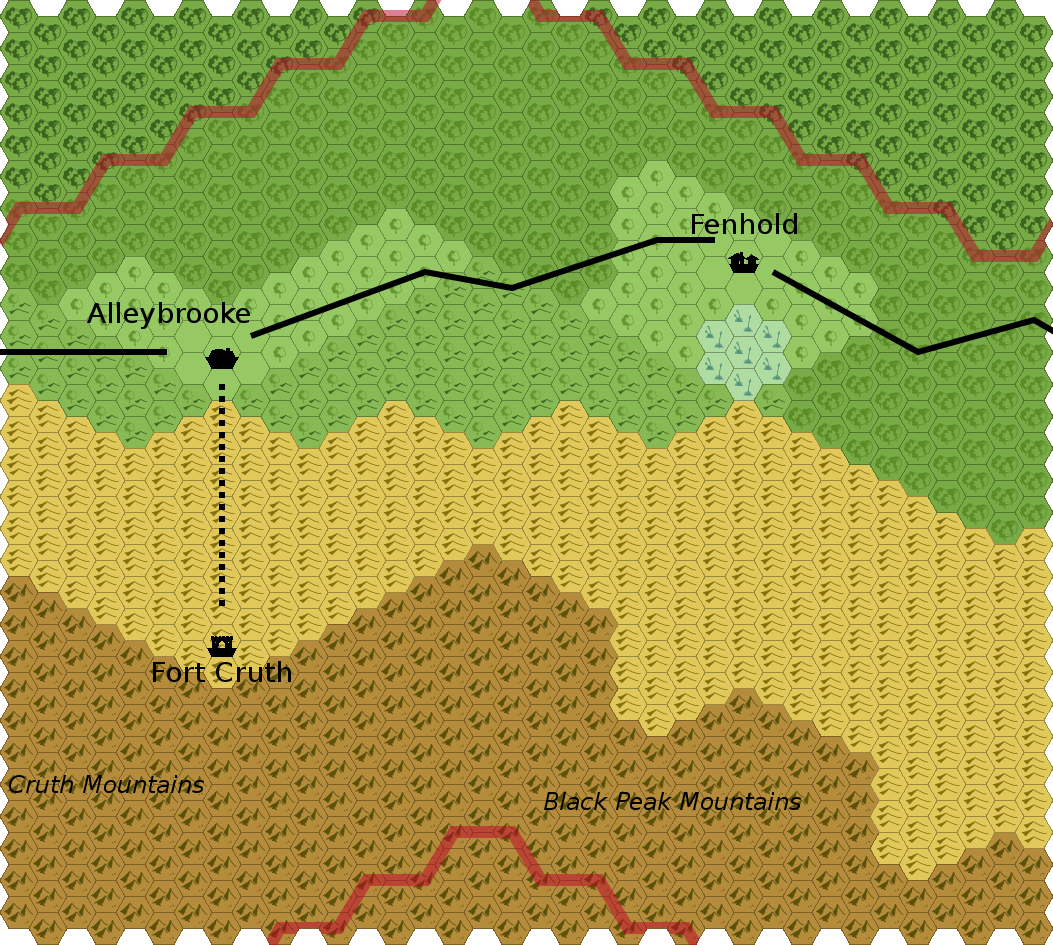
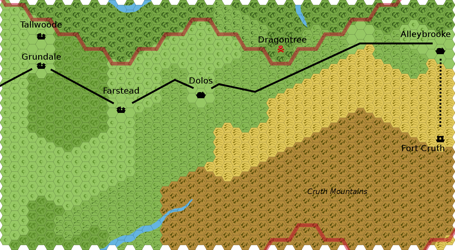
- Alleybrooke
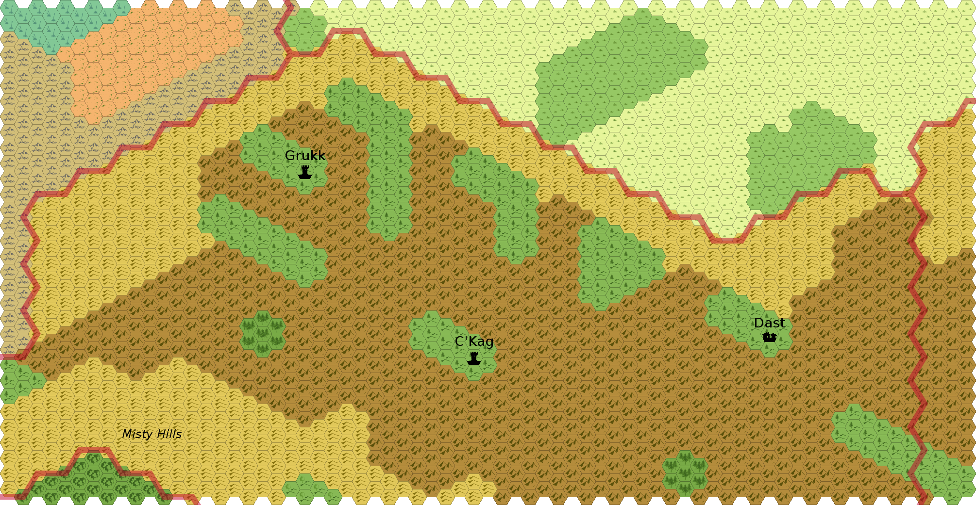
- C'Kag
- May want/need to break into two maps
- Dolos
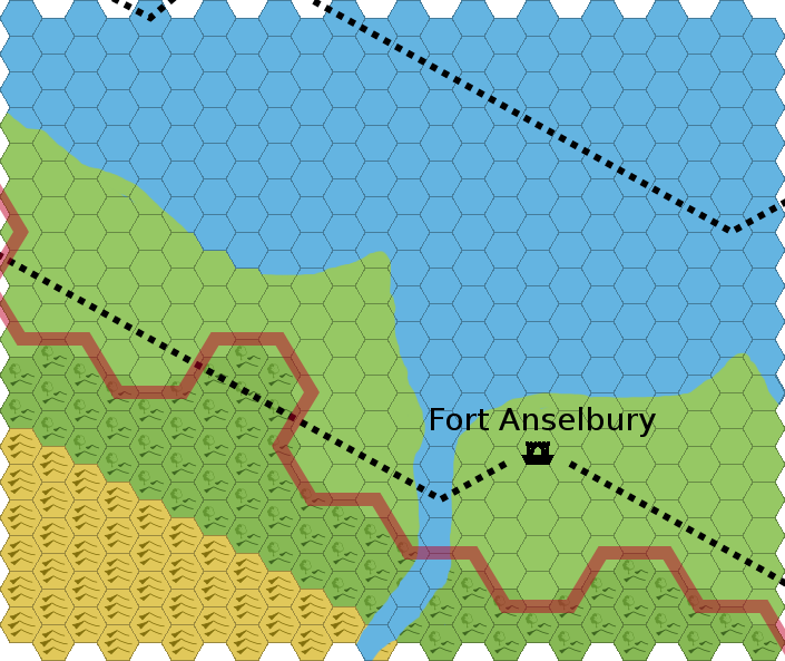
- Fort Anselbury
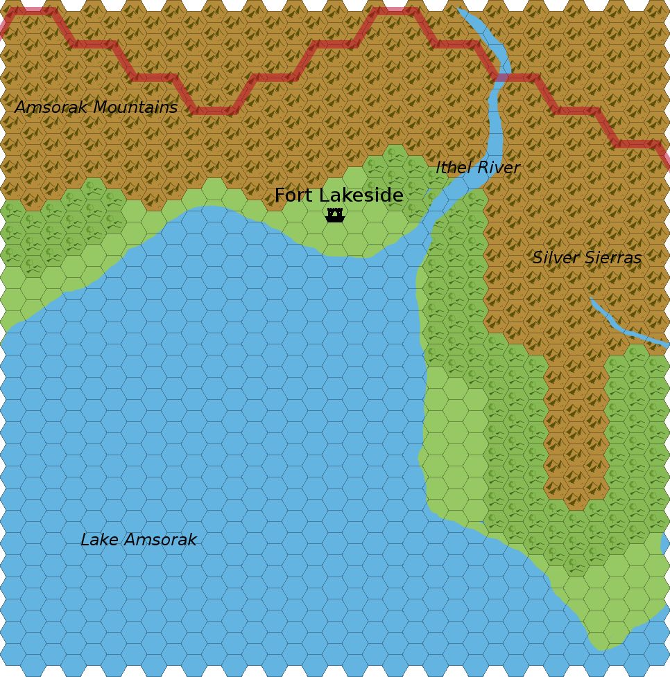
- Fort Lakeside
- Fort Nell
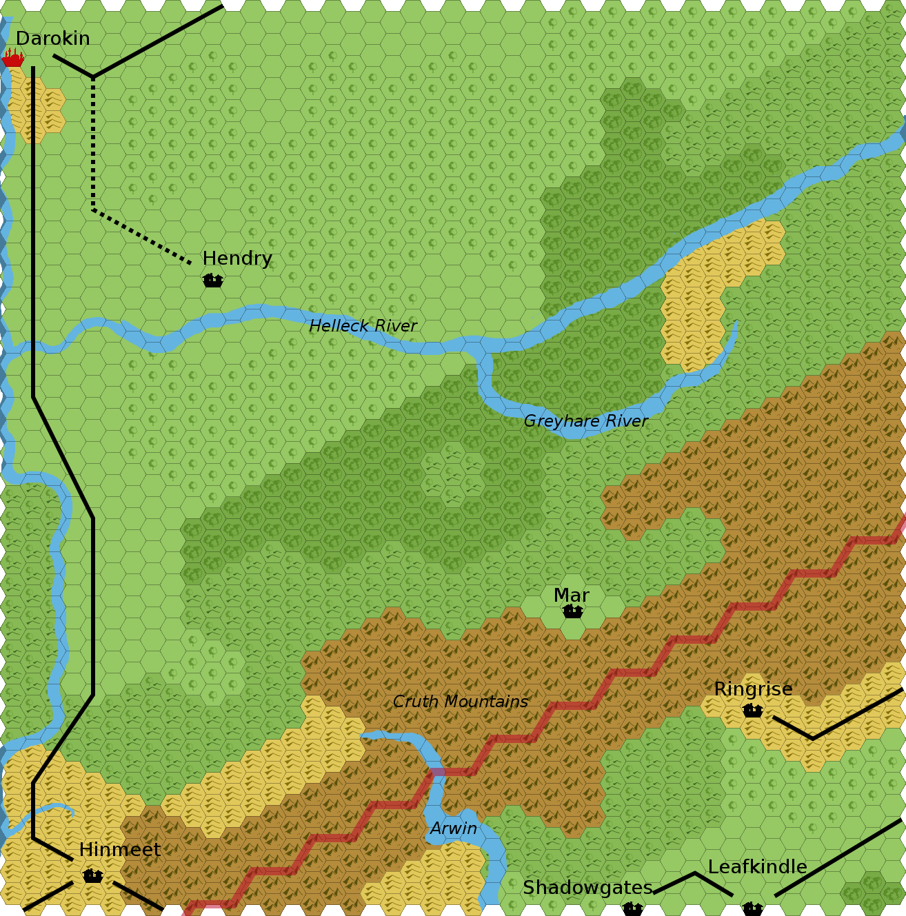
- Hendry
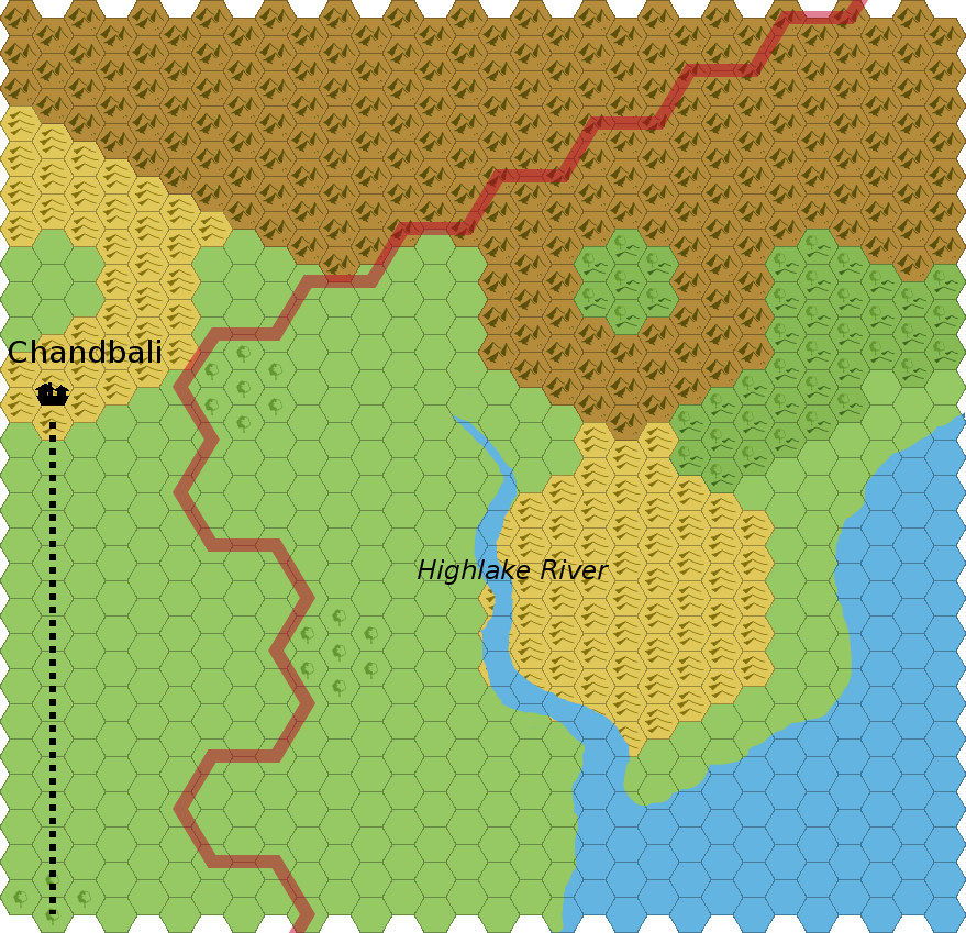
- Highlake
- thought: Beautiful scenery, might someone set up a resort in this region? (great name for it!)
- "Hobart valley"
- Need geographic name for region ("Hobart Valley"?)
- Lake Amsorak
- Old Sashenta
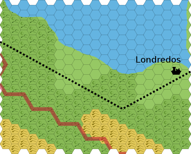
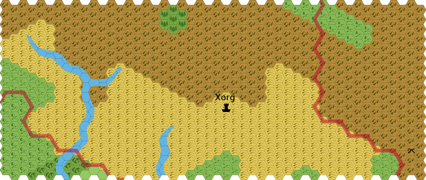
- Xorg
I intend to maintain (short) notes for each of these here.