
Eastern Brun Conglomeration, 24 miles per hex
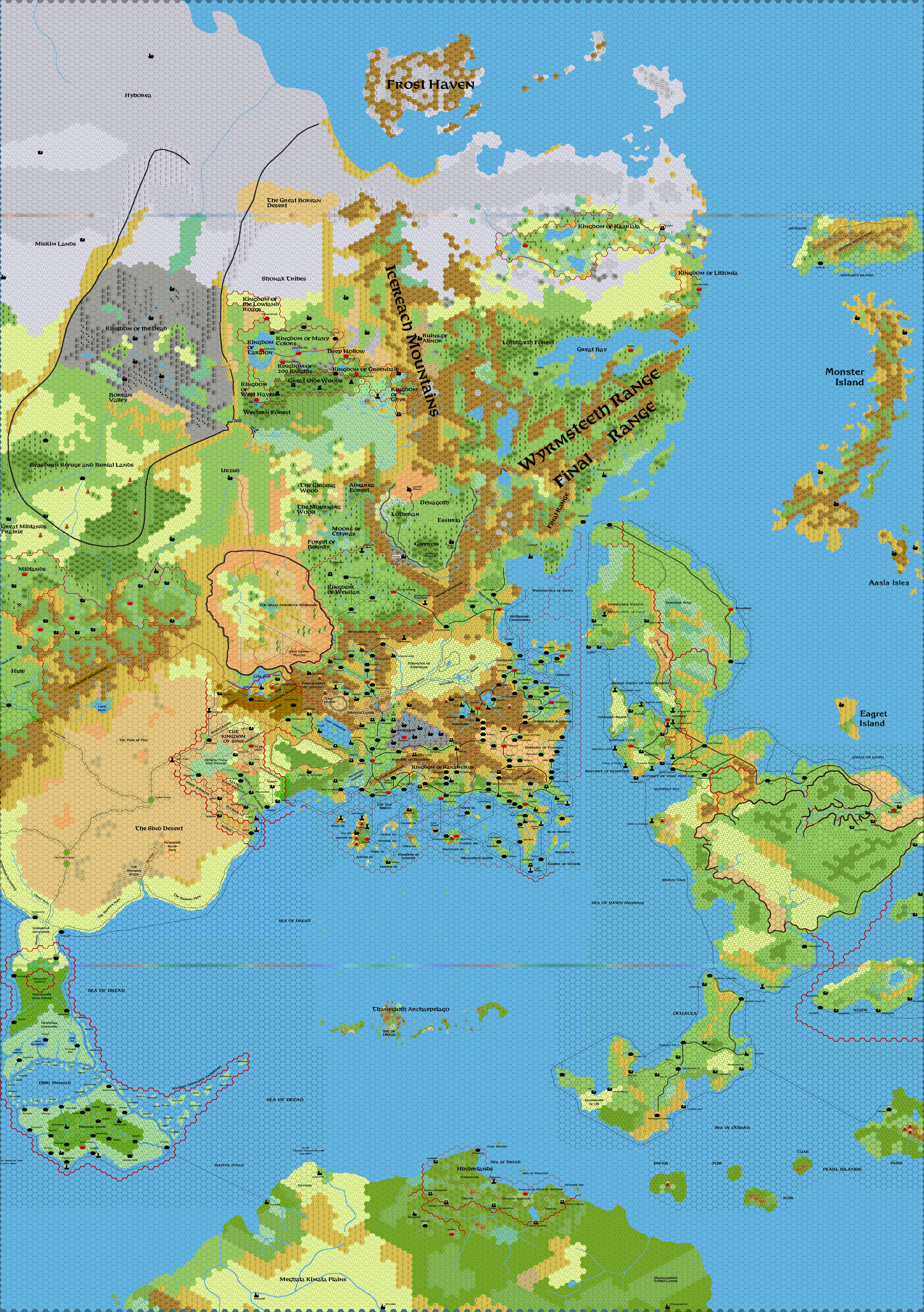
by DJ HartelSo over the last few weeks I've been meshing the various maps we have of Eastern Brun to create a 24 mile per hex huge map. I'm at a point where I have run out of sources, so I think now is a good time to offer up the map in a minimally customized version. All maps were rendered using Hexgimp, with some custom tiles I made based upon Gazf. I did not do much for roads, trails or sea ways on my updated portions of the map(I'm still figuring out how to do dotted lines correctly along with x's).
Parts of the map utilized hexes of different sizes. For the conversions from 8 mile hexes to 24 mile hexes I tried my best to fit appropriately with the other source maps, but I believe Wendar, and parts North and West of it may be off by about 8-12 miles (give or take a couple) in a northwest direction. I also used the updated coastlines/rivers where possible to reshape the 24 mile hex maps for Norwold.
I have a line for the arctic and Northern tropic which is shaded to as to not be too intrusive. It is currently unlabelled but should be visible upon zooming. This is a reference to make it easier to see where things lie in respect for climate (another thread I was asking about). Caveat being that this is based upon a flat surface/straight line and not a perfect representation of a spherical line (a problem I decided was outside the scope of this after reading about it on another thread...).
For the 72 mile conversion, I reviewed what was drawn for the remnants of Alphatia, outlined the coastline, then re-imposed the old 24 mile Alphatia map underneath it, using the Isle of Dawn as a reference. I think the terrain is fairly accurate (and if I'm right there are more ruined cities/towns about above water). Qeodhar's position was also modelled off of where Alphatia was and should be accurate.
My own personal customization was the modifying of the Atruaghin plateau to be more forested.
Here are the sources of the various maps:
Thorfinn Tait:
Alphatia and its environs
Isle of Dawn
Known World
Ochelea
Serpent Peninsula
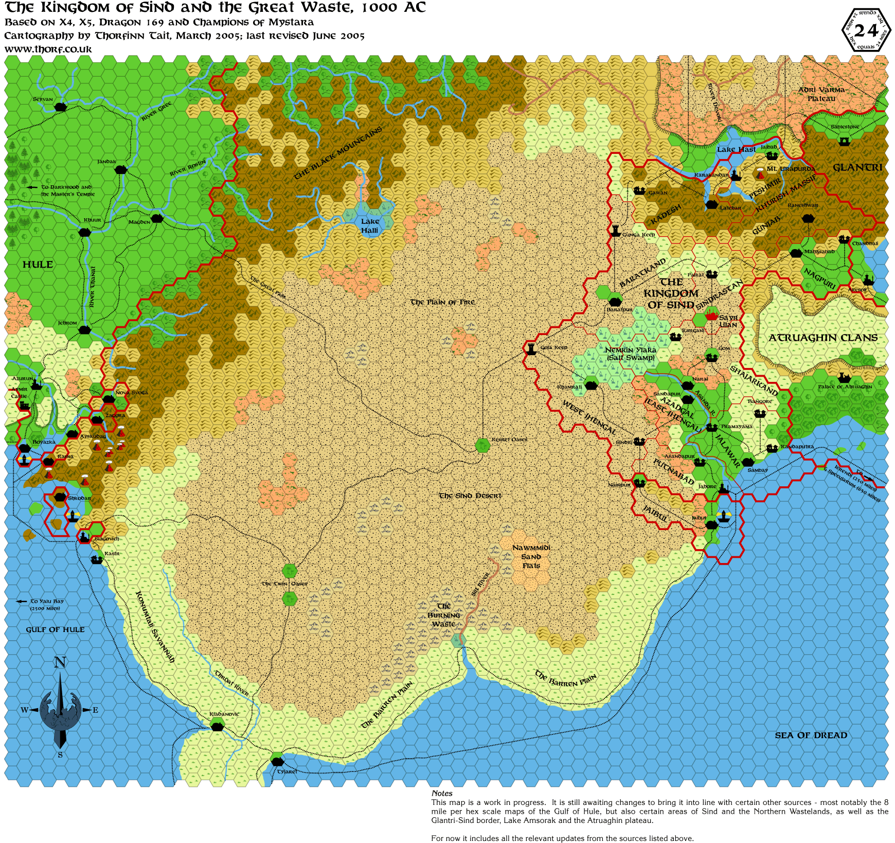
Sind/Great Waste
rough outline of Norwold
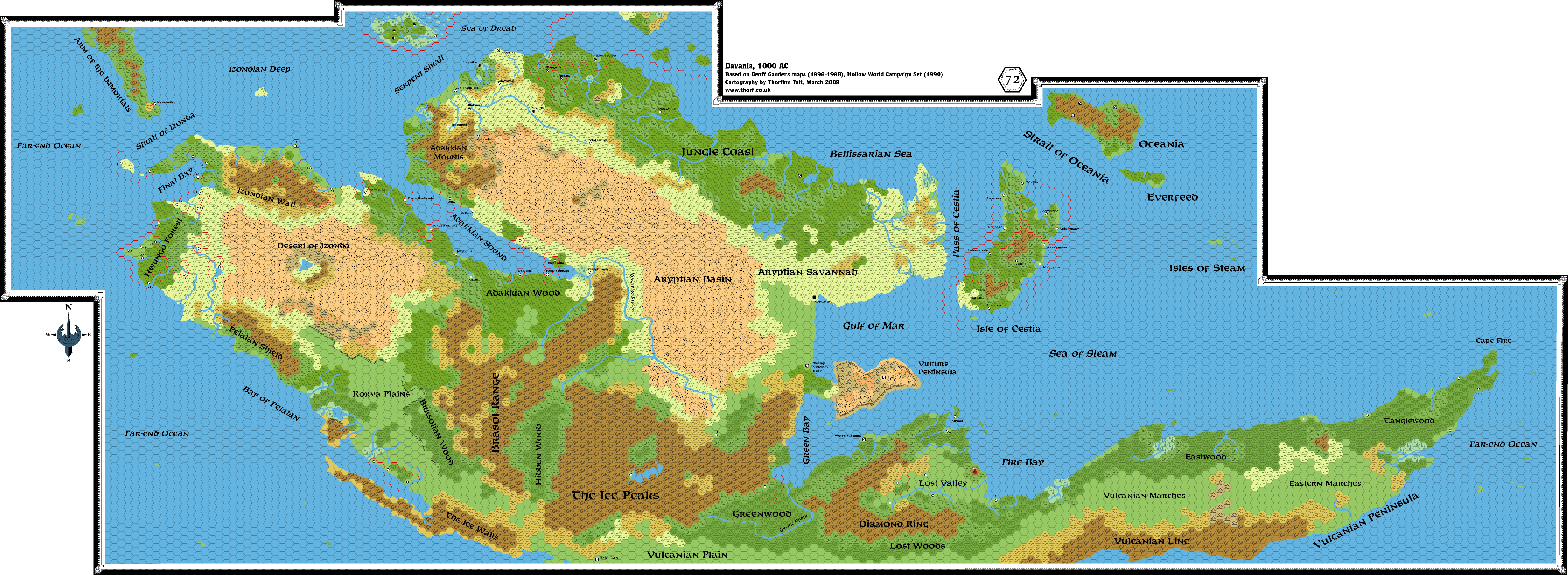
Thorfinn Tait / Geoff Gander's: Davania
LoZompatore - Northern Wildlands
LoZompatore - B3 Adri Varma Plateau
Simone Neri - Sea of Dread
OldDawg - The Borean Valley and surrounding lands. Northern Brun as well.
Following maps were converted from 8 - 24 miles per hex
Following Map were converted from 72 -24 miles per hex
Non Hex
Font used (where I did not have a Thorf source map to merge with):
???(I think this person frequents this board as his site the site has a lot of Italian which is something I know nothing about...) - Adri Varma Plateau
Thorfinn Tait - New Alphatian Sea
LoZompatore
OPTIFurst
OPTIFurst Bold
(From this thread, Thanks Urieal